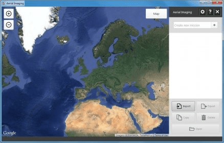
Trimble Aerial Imaging is a program designed for planning your aerial missions, performing pre-flight checks and monitoring your flights. The operator is guided through the pre- and post-flight sequences with step-by-step digital checklists. For additional time and resource savings, many of the Trimble UX5 checks are automatically verified by the program.
Comments